MISSION


The Council’s mission is to:
maintain and enhance the health of the South Fork John Day River watershed and the long term economic stability of the region,
foster a better understanding of its multiple resources,
represent broad and diverse geographies and interests, and
work collaboratively to carry out voluntary watershed restoration activities.
PURPOSE
Located in eastern Oregon’s high desert country, the South Fork John Day Watershed Council is a non-regulatory and non-governmental non-profit that works with private landowners and public land managers in the watershed. Our services are available to all landowners and land managers in the watershed and are entirely voluntary. Our staff assist in planning and applying for funding for projects at the landowners’ and land managers’ request.
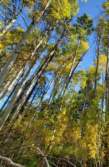
Common project types include juniper removal, upland water developments, riparian enhancements, aspen enhancement, youth education, educational workshops and field tours, research & data collection, forest and rangeland health treatments, and noxious weed control.
Council staff and projects are solely funded through grants. We work with many private and public agencies and partners to complete our projects.
If you have project ideas in the South Fork John Day watershed, please stop by our office or give us a call!
SERVICE AREA
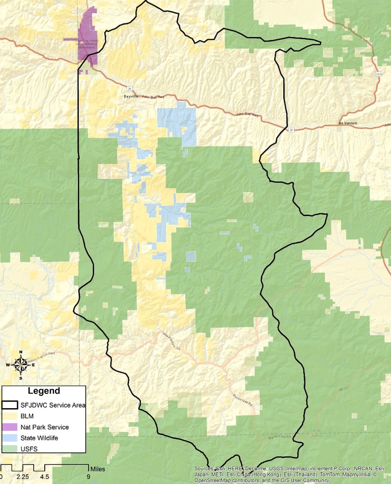
From the 1980s until 2014, the Council’s territory covered the two uppermost fifth-field watersheds in the South Fork of the John Day River. In March of 2014 the Council expanded its territory to encompass the entire South Fork of the John Day River Watershed, increasing from 182,188 acres to 537,708 acres.
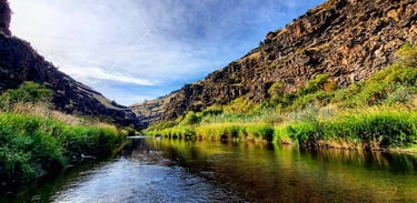
The South Fork of the John Day River flows northward from its headwaters in the Ochoco and Aldrich Mountains and enters the main stem of the John Day River at Dayville, OR.
The length of the mainstem of the South Fork, from its headwaters to mouth, is approximately 55 miles, covering 537,708 acres. Upstream fish migration is prevented at rivermile 28 by the Izee Falls, the watershed above which is referred to as the Upper South Fork of the John Day River (USFJDR) watershed. In its entirety, the South Fork subbasin drains 607 square miles.


